Kep Location Profile


Overview


Kep (also spelled Kaeb) is part of Kep Province, which is the smallest of the Cambodian provinces, and it's also one of the newest in the Kingdom. The province was only formed in 2008, following a Royal Decree, and is one of the least populated areas in the country.
Kep Tourism has grown steadily since the 1990s and Kep is now among the top Cambodian tourist destinations. The Government is also working on a Kep Tourism Masterplan to be completed in 2020- the Ministry of Tourism aims to transform Kep province “to be a world standard tourism hub”.
The provincial capital is Kep District and the province contains the Kep National Park, while offshore there is a scattering of small islands in the Kep Peninsula. The Kep beach remains of the key tourist attractions.
There are dozens of boutique hotels, guesthouses, backpacker-focussed hostels and more accommodation options, mostly located in the main town, near the beach and north of the Crab Market.
Key Information
Things To Do in Kep
Explore the Area
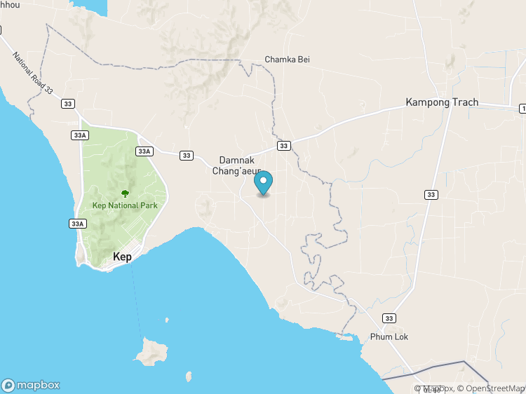
Kep province is situated in the southwest of Cambodia and covers 336 km2. It is entirely surrounded by Kampot Province except for the 16 km of seacoast on the southern side. The main town of Kep sits on the coastline and has a beach and a lengthy coastline.
The western border of Kep is approximately 20 KM from the town of Kampot while the eastern border is only 20 KM from the Vietnamese border.
The Kep Peninsula has a small archipelago of 13 islands (Koh) and islets located at the east side of the peninsula. The most well-known island is Koh Tonsay (Rabbit Island).
The South Korean financed Road 33, from Kampot to Kep, Kompong Trach and Angka Saum, have improved the trips between Kep and Kampot with other roadworks also being improved.